Out and About in Ardgour
With its ever-shifting light, wild beauty, and rich variety of terrain, Ardgour is a place made for exploring on foot. From gentle woodland trails to high, windswept summits, every walk offers new views, wildlife encounters, and moments to pause and take it all in.
Gentle Walks and Estate Paths
If you’re looking for a relaxed day outdoors, Ardgour’s network of estate paths is perfect. Wander in any season, choosing a short stroll or a longer ramble depending on the weather and your mood. These routes criss-cross the land, offering something for all ages and abilities.
Climbing the Corbetts
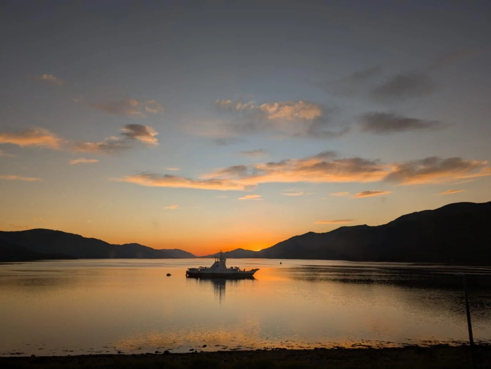
For those drawn to bigger challenges, Ardgour boasts three celebrated Corbetts – Scottish hills between 2,500 and 2,999 feet, each with a drop of at least 500 feet on all sides. Their summits open up incredible panoramas: across Loch Linnhe to Glencoe, out to the mountains of the Small Isles, and over to mighty Ben Nevis.
A Note on Deer Stalking Season
Between August and October, the main deer stalking season takes place. During this time, please stick to marked hill paths and take extra care. Stalking is an important part of managing deer numbers, helping native woodland regenerate and protecting fragile habitats.
For more on access rights and responsibilities, see the Scottish Outdoor Access Code.
More Walking Inspiration
If your boots are still itching for adventure, you’ll find plenty of additional routes on the excellent Walk Highlands website.
Ardgour Audio Trail
Discover the beauty and stories of Ardour with A Walk in Ardour – a free self-guided audio tour created by local voices. The 3-mile circular walk begins and ends at the Corran Ferry, taking you through woodland, croftland and along the shoreline. Along the way, you’ll hear history, heritage and personal tales that bring the landscape to life.
Download the Geotourist app, search for A Walk in Ardour, or visit this link to start your journey.


Crofters Woods
This circular woodland route in Ardgour, just across the water from Fort William, takes you through beautiful ancient semi-natural woodland (part of the Atlantic Rainforest) before opening out onto heath with wide coastal views. Along the way you’ll look across Loch Linnhe towards Fort William, Corpach, Inverlochy and the Ben Nevis Range, with an excellent viewpoint partway round.
Camusnagual Woodland covers just over 31 hectares and is mainly made up of downy birch and sessile oak, with a rich mix of ground flora. The area has a long history of human use, and you’ll spot archaeological features such as woodland dykes, hut circles and lazy beds linked to past crofting and woodland management.
Wildlife is plentiful. Keep an eye out for red deer, buzzards, ravens and a wide range of woodland birds in spring, and watch the coastline carefully for otters. There are four interpretive boards on local history and ecology to keep an eye out for on the route. The path network consists of three interconnected loops, with the tracks mapped out on the boards.
Route Details
Begin at the Camusnagual passenger ferry terminal, where there is space to park, just north of the Village Hall.
From the ferry, follow the road north. You’ll pass a line of impressive beech trees and cross a small burn before reaching the start of the trail.
An interpretation board marks the beginning of the walk. Take the Crofter’s Trail as it climbs through mixed deciduous woodland. The route is waymarked, though the path can become muddy and faint in sections. As you gain height, take a moment to turn around – the views back across Loch Linnhe to Fort William, Corpach and the Ben Nevis range are well worth it.
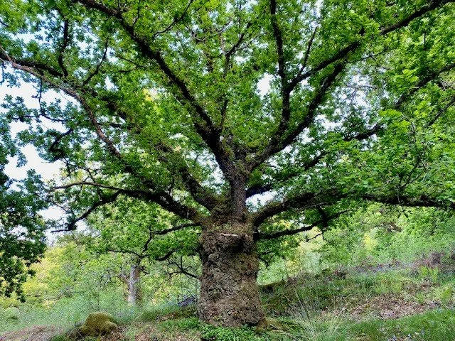
This 350-year-old pollarded sessile oak in these woods was named as a prestigious Queen's Green Canopy ancient tree in 2022, one of 70 across the UK with the title.